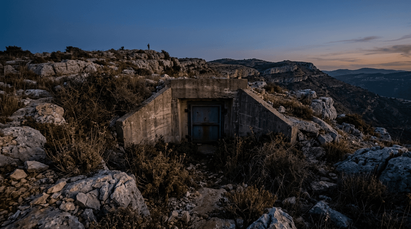
New satellite imagery from the American Institute shows construction activity at the secret Mount Makush facility, 80-100 meters underground near Natanz, according to a report by journalist Doron Kadosh. The three main Iranian nuclear facilities remain stable, with no uranium enrichment observed at Natanz and earth barriers installed at Fordow.
New satellite imagery obtained by the American Institute and reported by journalist Doron Kadosh reveals construction activity at Iran's secret underground nuclear facility known as 'Mount Makush,' located near Natanz. The facility extends 80 to 100 meters underground, according to the report. The imagery also indicates that the three main nuclear facilities—Natanz, Fordow, and Isfahan—remain stable, with no uranium enrichment activity observed at Natanz and earth barriers installed at Fordow for protection. The development adds to ongoing scrutiny of Iran's nuclear program amid international tensions and negotiations.
- DevelopingVehicle convoy spotted entering underground facility near Natanz
- StrongNew satellite imagery details vehicle activity at Iran's Natanz and Isfahan nuclear sites
- DevelopingIsrael's Security Cabinet to convene Saturday evening amid Iran nuclear developments
- DevelopingIran shuts nuclear sites Fordow, Natanz, Isfahan to IAEA inspectors
Source and signal
- Internal intake