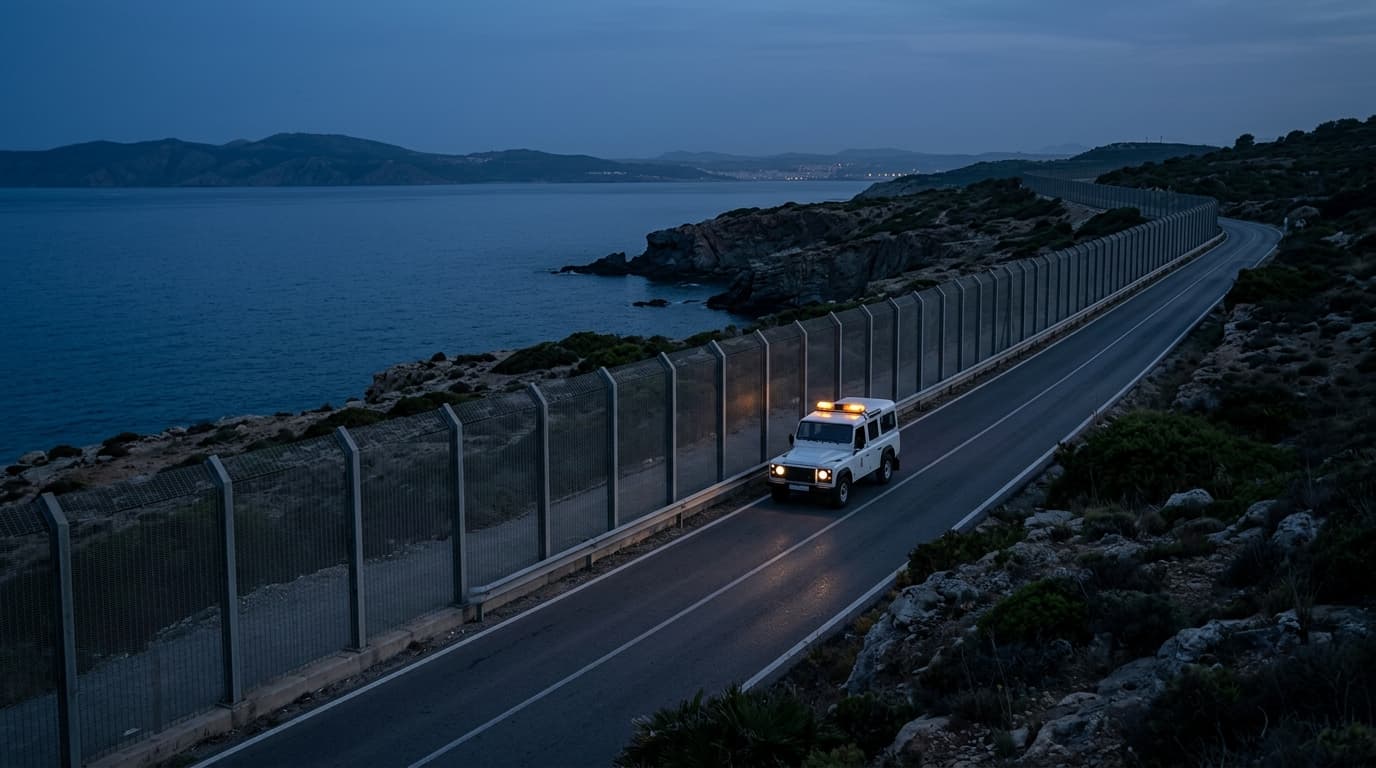
According to reports, Google Maps has updated its display of Morocco's borders, showing the frontiers with Western Sahara, Ceuta, and Melilla as dotted lines — a cartographic convention for disputed territory rather than recognized international borders.
The map change signals Google's recognition of the disputed status of Western Sahara, a territory claimed by both Morocco and the Sahrawi Arab Democratic Republic, as well as the Spanish enclaves of Ceuta and Melilla on the North African coast, which Morocco regards as occupied territories. The dotted line replaces a solid border, indicating a cartographic policy shift by Google. The update comes amid ongoing diplomatic tensions over the enclaves, as The Zioneer has previously reported on the July 2026 migration crisis at Ceuta. The report has not been independently verified by Google.
- DevelopingMoroccan source tells ynet: Many in Morocco say Ceuta is under Spanish occupation
- DevelopingSocial media post claims Ceuta is and will remain Spanish territory
- DevelopingMorocco interior ministry: ~40,000 attempted to cross into Ceuta, ~1,135 into Melilla
- DevelopingEl País: Spanish government assesses Morocco directly assisted Ceuta migrant wave
Source and signal
A single-sourced dispatch is never rated Confirmed or Strong. Its Signal strengthens only when a second, independent source corroborates it.
- Open-source intake