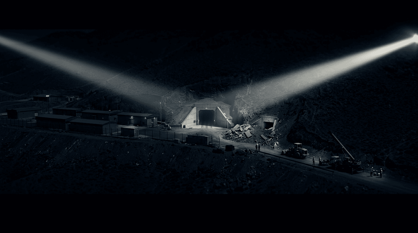
New satellite imagery from Vantor, cited by Al Jazeera, reveals the dimensions and ongoing construction of Iran's most secretive underground nuclear facility at Mount Makush (Jabal al-Fas), 2 km from Natanz. The facility is 100 meters deep and covers 3 km², making it deeper than the Fordow facility. IAEA inspectors have never been allowed to visit.
New satellite imagery from the end of June 2026, obtained by the Qatari network Al Jazeera from the Israeli company Vantor, has revealed the dimensions and ongoing construction of Iran's most secretive underground nuclear facility, located at Mount Makush (Jabal al-Fas), approximately 2 km from the Natanz enrichment site.
The facility, which began construction in 2020, is burrowed 100 meters underground within the Zagros mountain range, making it deeper than the fortified Fordow facility. The complex spans 3 km², a size sufficient to house a full uranium enrichment plant, according to the report. Satellite imagery shows intense truck traffic at the western tunnel entrances, indicating that reinforcement work is continuing.
IAEA inspectors have never been granted access to the site. The Zioneer has previously reported on satellite imagery showing activity at Mount Makush (July 4) and at other Iranian nuclear sites (July 11). The new report adds specific dimensions and confirms that the facility is the most fortified of Iran's nuclear sites against aerial attack.
- StrongSatellite imagery reveals construction activity at Iran's secret underground nuclear facility near Natanz
- StrongIran reportedly building underground nuclear facility in violation of US MOU, Israeli security source says
- StrongCNN: New satellite imagery shows Iran repairing nuclear weapons sites, potentially violating U.S. agreement
- DevelopingSatellite imagery reveals earth berms Iran built near Fordow nuclear site
Source and signal
- Internal intake