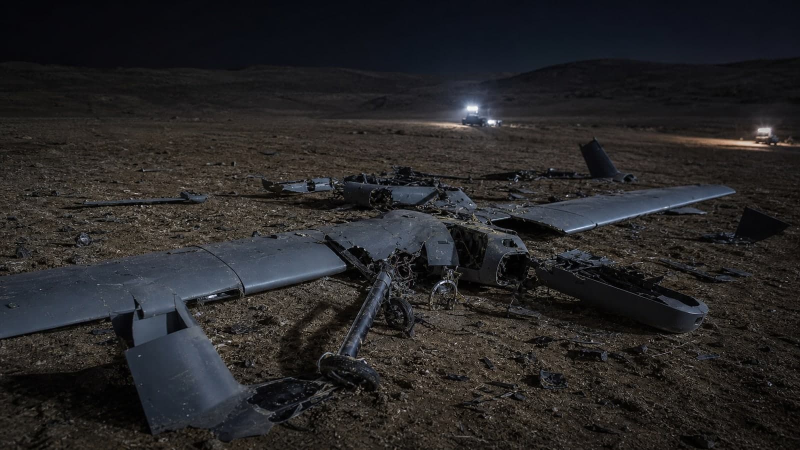
Satellite imagery shows the Beaufort area in southern Lebanon after controlled explosions destroyed parts of an underground route, according to a report.
01 · THE DISPATCH
The satellite imagery, released via a report, provides the first documented view of the Beaufort area after controlled explosions destroyed parts of an underground route. The Beaufort fortress, a historical Crusader castle, has been a site of previous explosions. The Zioneer previously reported that a source claimed the fortress remained intact after an earlier explosion. The new imagery focuses on the destruction of the underground route, with the surrounding area appearing charred.
02 · How it developed
3 developments
Related dispatches
- StrongThe source posts images of Beaufort fortress after explosion, claims fortress intact
- StrongLebanese president: Explosions at Beaufort caused earthquake, 'dangerous escalation'
- DevelopingLebanese report artillery shelling near Beaufort Castle in southern Lebanon
- DevelopingLebanese media report IDF controlled explosions near Deir Mimas, Beaufort
03 · Source and signal
Source and signal
- Open-source intake