A comparison between an IDF map published today and one from April 19 (around the time the previous ceasefire was declared) shows the military has expanded its controlled area in southern Lebanon over the past two months and captured new positions including the Ali al-Taher ridge, according to the Abu Ali Express channel.
The Abu Ali Express channel has published a map comparison showing that the IDF expanded its controlled area in southern Lebanon between April 19 (around the previous ceasefire) and today, capturing the Ali al-Taher ridge. The new map, released today, aligns with the official IDF Security Zone map published earlier today (Thu 13:03 Jerusalem), which already included the ridge under Israeli control. The channel also notes a possible cartographic anomaly regarding a funnel-shaped maritime projection.
The IDF first published an official Security Zone map at 13:03 Jerusalem on Thursday, delineating controlled areas approximately 10 km deep into Lebanon, including the Beaufort Ridge, Ali al-Taher Ridge, Kfar Tebnit, and western positions such as Ras Biyada and Majdal Zoun (versions 1-9 of our thread). That publication followed a series of reports: on June 13, Lebanese media reported heavy IDF artillery bombardment on the Ali al-Taher ridge; on June 15, Al Jazeera confirmed, citing sources, that Israeli maneuvering forces were advancing toward the ridge; and the June 18 official map placed the ridge under Israeli control. The Abu Ali Express comparison now provides a direct visual timeline of the territorial expansion since the April ceasefire, corroborating earlier operational reports.
As The Zioneer reported on June 18, the official IDF Security Zone map formalizes a buffer the military says it will not withdraw from, citing the security of northern Israeli communities. The map was approved by the Prime Minister's Office, the Defense Minister, and the IDF.
The Abu Ali Express channel flags a possible drafting error in the latest map: the funnel-shaped maritime zone appears unchanged or enlarged even as the land-controlled area grew. This remains an unverified cartographic observation; no official IDF comment has been released regarding the anomaly.
8 developments
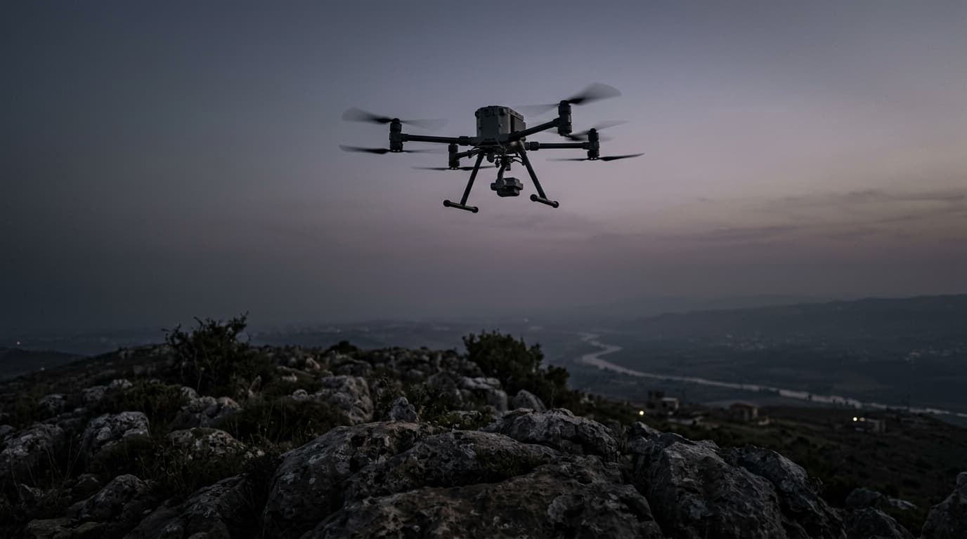
- DevelopingSatellite imagery shows IDF captured four southern Lebanon villages, strategic ridge
- StrongIDF issues updated southern Lebanon security-zone map, calls on Lebanese army to steer clear
- DevelopingIDF pushes into three new axes in southern Lebanon, sources report
- StrongAl Jazeera confirms IDF maneuvering forces advancing toward Ali al-Taher ridge
Source and signal
- Internal intake