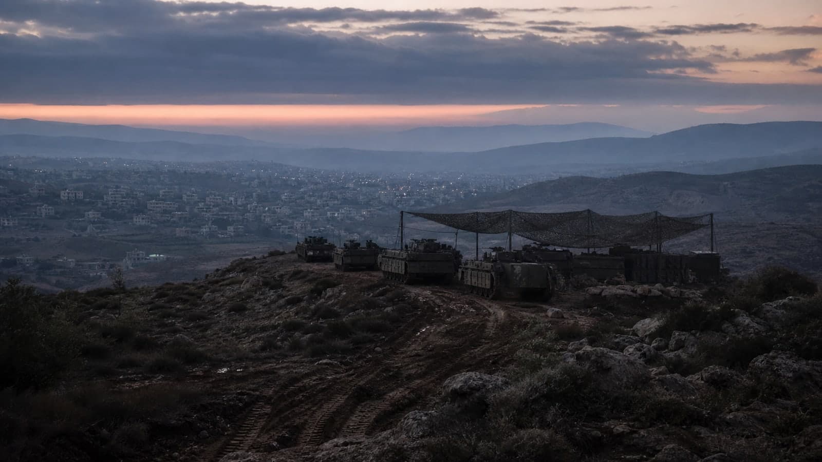
Prime Minister Netanyahu published a map marking in red two pilot zones in southern Lebanon from which the IDF will withdraw and into which the Lebanese Armed Forces will enter. The yellow line marking the IDF's forward deployment line is also shown on the map, according to the Prime Minister's Office.
Prime Minister Benjamin Netanyahu published a map on Saturday evening delineating two pilot zones — marked in red — in southern Lebanon where the IDF is set to withdraw and the Lebanese Armed Forces will deploy. The map also displays the Yellow Line, which marks the IDF's forward security-zone boundary, in yellow.
This follows weeks of diplomatic discussions and reported U.S. pressure on Israel to reduce its military footprint north of the border. As The Zioneer reported earlier Saturday, the IDF had already begun preparing to start the withdrawal from these pilot zones on Sunday morning. The exact villages encompassed by the two red-marked areas have not been independently confirmed, and the timing of the Lebanese army's entry remains provisional.
The Yellow Line itself was formally published by the IDF on June 18, representing the 10 km depth of the current security zone. Senior Israeli officials have previously described the Yellow Line as a red line that must not be crossed. The pilot-zone framework was first presented by Netanyahu on June 26, and the map published tonight appears to be the most detailed official visual of those plans to date.
3 developments
- StrongNetanyahu: IDF controls nearly 70% of Gaza Strip; vows no withdrawal from Lebanon buffer zone
- DevelopingSenior Israeli official maps two Lebanese army deployment zones beyond Yellow Line
- StrongNetanyahu tells aides withdrawal from southern Lebanon is a 'red line' as US pressure mounts
- DevelopingIDF pushes into three new axes in southern Lebanon, sources report
Source and signal
A single-sourced dispatch is never rated Confirmed or Strong. Its Signal strengthens only when a second, independent source corroborates it.
- Internal intake