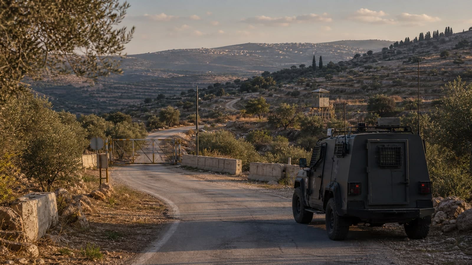
The IDF has published an official map of the Security Zone in southern Lebanon, delineating the area where Israeli forces are currently operating, approximately 10 km deep into Lebanese territory, according to the military.
The IDF published an official map of its Security Zone in southern Lebanon on Thursday afternoon, formalizing boundaries approximately 10 km deep into Lebanese territory. The military said forces are now established within the delineated area, continuing operations to remove threats and improve defense for northern communities. The release marks the first time the IDF has publicly mapped the zone, which had previously been described only in operational briefings.
As The Zioneer reported at 13:03, the map covers the Beaufort Ridge, Ali Taher Ridge, Kfar Tebnit (areas seized north of the Litani), the Christofani Ridge above Mount Dov and Mount Hermon, the zone up to Wadi al-Seluqi, and in the western sector — Ras al-Bayada overlooking Tyre and the recently captured town of Majdal Zoun. The map indicates Israel holds territory continuously across this belt, with no withdrawals from any captured areas. Earlier on Thursday, at 13:04, the IDF confirmed its forces are established within the newly mapped area.
Separately, the IDF has reported ongoing ground operations, strikes, and exchanges in southern Lebanon over recent days. On Thursday morning, strikes were reported in southern Lebanon and deeper inside the country, according to an Arabic-language desk journalist (The Zioneer, Thu Jun 11, 09:23 Jerusalem). By Sunday, the IDF had struck targets across southern Lebanon and issued evacuation warnings for 29 villages (The Zioneer, Sun Jun 14, 12:12 Jerusalem). Hezbollah is showing signs of strain and dispatching inexperienced fighters as the IDF advance continues, military sources said (The Zioneer, Sun Jun 14, 19:46 Jerusalem). The IDF has sustained operations in the area since at least June 9, when the military said it was maintaining its operational tempo and had not withdrawn forces (The Zioneer, Tue Jun 9, 10:08 Jerusalem).
What remains open is whether the publication of the map signals an intent to codify the zone in policy or reflects a step toward longer-term deployment arrangements.
8 developments
- DevelopingSatellite imagery shows IDF captured four southern Lebanon villages, strategic ridge
- DevelopingIDF pushes into three new axes in southern Lebanon, sources report
- StrongAl Jazeera confirms IDF maneuvering forces advancing toward Ali al-Taher ridge
- DevelopingSenior security source: Israel expanded overnight, captured Tibnit in southern Lebanon
Source and signal
- Internal intake