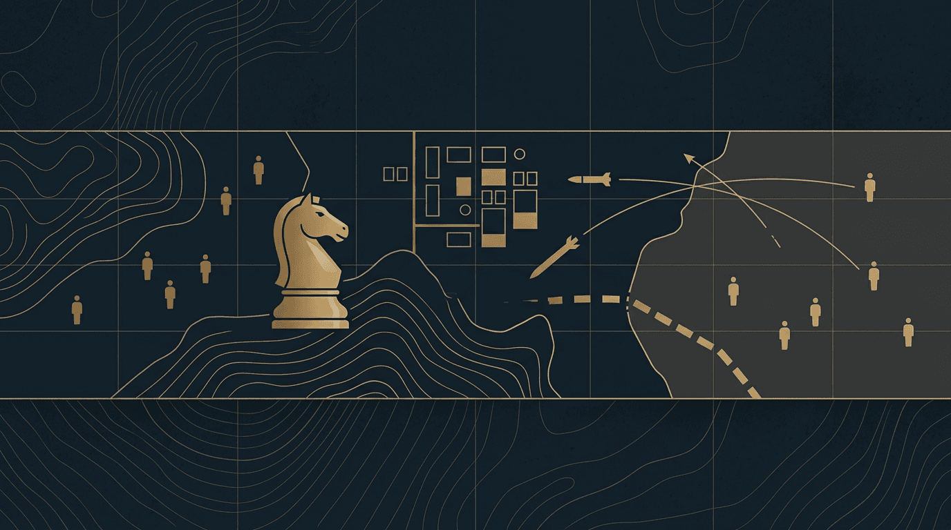
The IDF has published an official map of what it terms the 'Security Zone' (רצועת ביטחון) in southern Lebanon, delineating the areas under Israeli military control. According to military correspondent Doron Kadosh, the map includes the Beaufort Ridge, the Ali al-Taher Ridge, the village of Kfar Tebnit (areas captured north of the Litani River in recent weeks), the Cristophani Ridge above Mount Dov and the Hermon, territory as far as the Wadi al-Saluki, and in the western sector — Ras Biyada overlooking Tyre and the captured village of Majdal Zoun. The map signifies Israeli control up to approximately 10 km deep into Lebanon, with no withdrawal from any area captured in recent weeks, Kadosh reports.
The IDF's publication of an official Security Zone map on Thursday formalizes the territorial footprint of Israeli operations in southern Lebanon since the start of the ground campaign against Hezbollah infrastructure.
As The Zioneer reported earlier Thursday (13:12), the map marks Israeli control up to approximately 10 km into Lebanese territory, with the prime minister's office, the defense minister, and the IDF approving the precise wording. Military correspondent Doron Kadosh details that the map incorporates recent gains: the Ali al-Taher ridge and the village of Kfar Tebnit on the Nabatieh plain were among areas captured in recent weeks; satellite imagery published over the weekend (June 14) corroborated the capture of Kfar Tebnit and the ridge as well as the villages of Kounine, Beit Yahoun, and Majdal Zoun. The Beaufort Ridge, where the IDF previously uncovered an Iranian-funded Hezbollah tunnel network containing attack maps of northern Israel (The Zioneer, June 13), remains under Israeli control.
The map also encompasses the Cristophani Ridge above Mount Dov and the Hermon, ground held since earlier phases, and extends westward to Ras Biyada, which overlooks Tyre. Kadosh emphasizes that the map reflects a policy of no withdrawal from any captured area at this stage. A senior security source told Ynet on Monday (June 15) that the IDF received a directive to stabilize the line including Beaufort Castle and prepare for a ceasefire, while also noting the overnight capture of the Tibnit area and that 'there is still much work in the territories we captured.' The Security Zone's boundaries will likely be subject to diplomatic negotiations, as the US-Iran MOU that was signed this week reportedly covers the entire region, including Lebanon, according to a US official cited by i24NEWS.
8 developments
- DevelopingSatellite imagery shows IDF captured four southern Lebanon villages, strategic ridge
- StrongIDF issues updated southern Lebanon security-zone map, calls on Lebanese army to steer clear
- DevelopingIDF pushes into three new axes in southern Lebanon, sources report
- StrongAl Jazeera confirms IDF maneuvering forces advancing toward Ali al-Taher ridge
Source and signal
- Internal intake