New satellite imagery confirms that a U.S. early warning radar site on Jabal ad Dukhan, Bahrain, was struck by an Iranian drone on June 11 and severely damaged or destroyed, according to a desk-reviewed report. The claim follows Iranian footage of a drone strike on the same coordinates from earlier in the week. The assessment has not been independently verified.
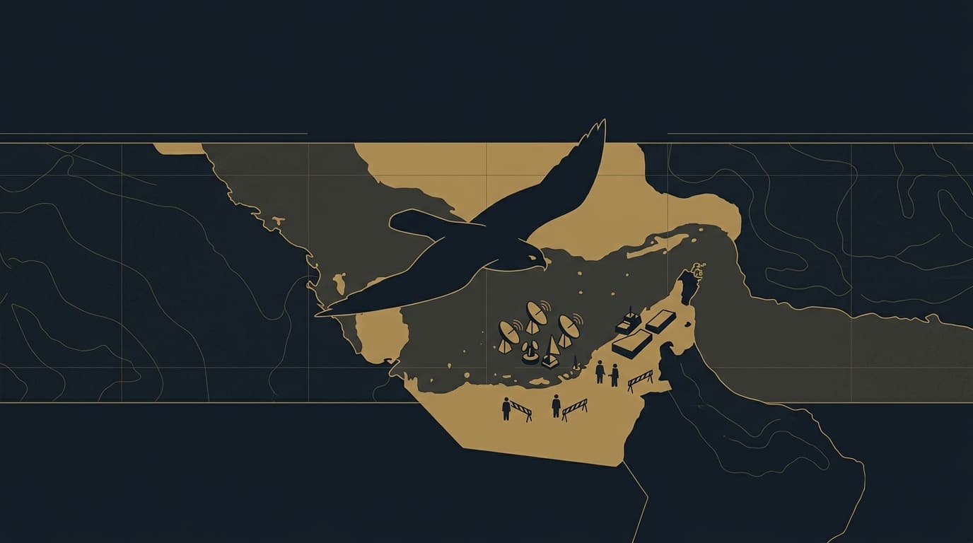
New satellite imagery analyzed by an open-source intelligence account indicates that the U.S. early warning radar site atop Jabal ad Dukhan, Bahrain — the highest point in the kingdom — was struck and severely damaged by an Iranian drone on June 11. The images, posted to Telegram at 03:10 Jerusalem time on June 12, show what the account describes as destruction of the site at coordinates 26°02'16.9"N 50°32'31.2"E.
The claim follows Iranian media and military-affiliated accounts from June 10-11 asserting that Iran's regular army (Artesh) had struck US Fifth Fleet radar and communications facilities in Bahrain with drones. As The Zioneer reported on June 11 at 15:49, the Artesh claimed responsibility for hitting the site; the new satellite imagery is presented as confirmation of that strike.
On June 10-11, Bahrain was targeted by a wave of Iranian drones — 36 were launched at the kingdom, according to Bahrain's Foreign Minister — with one drone's debris wounding an 11-year-old girl. This specific radar site strike appears to have occurred in that same barrage, though the exact timing of the impact within the event is not specified.
The report originates from a desk-reviewed report and has not been confirmed by U.S. Central Command, Bahraini authorities, or additional independent imagery analysis.
4 developments
- DevelopingIran releases satellite imagery claiming drone strike destroyed US radar in Kuwait
- DevelopingIran releases satellite imagery showing complete destruction of fuel depots at Bahrain air base
- StrongIran publishes satellite imagery claiming total destruction of Ramat David hangar
- DevelopingIranian army releases footage of Arash-2 drone launches toward US targets in Bahrain
Source and signal
- Open-source intake